Forecast for the Abajos Area Mountains

Eric Trenbeath
Issued by Eric Trenbeath on
Friday morning, February 21, 2020
Most terrain has generally LOW danger and mostly stable snow conditions exist. Low danger doesn't mean no danger and it may still be possible to trigger an avalanche in areas of extreme terrain. Carry appropriate rescue gear and continue to practice safe travel techniques.
Low
Moderate
Considerable
High
Extreme
Learn how to read the forecast here
Special Announcements
The UAC's Avy Awareness Auction is currently underway with tons of great gear, jewelry, artwork and experiences available. Visit the auction page here to help support the UAC's spring avalanche awareness and outreach efforts.
A new version of the UAC IOS application is now available on the Apple App Store. This version fixes many of the issues that occur when running IOS 13.
Weather and Snow
Satellite imagery shows mid/high-level clouds streaming in from the southwest this morning as moisture increases ahead of a closed low-pressure system currently off the California coast. Skies should remain mostly sunny today, with light to moderate SW winds and high temps in the mid 30's. Look for increasing clouds tomorrow as the storm moves into our area sometime in the afternoon. The main event should occur on Saturday night. 5"-9" are possible. Conditions again dry out for the upcoming week.
Snow totals at Buckboard Flat (8924')
Snow totals at Camp Jackson (8858')
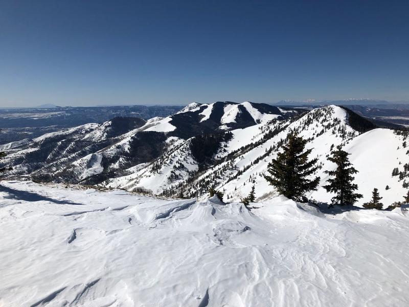
The snow surface is pretty worked over. Kevin Dressel photo.
Recent Avalanches
General Announcements
This forecast is from the U.S. Forest Service, which is solely responsible for its content. This forecast describes general avalanche conditions and local variations always occur.