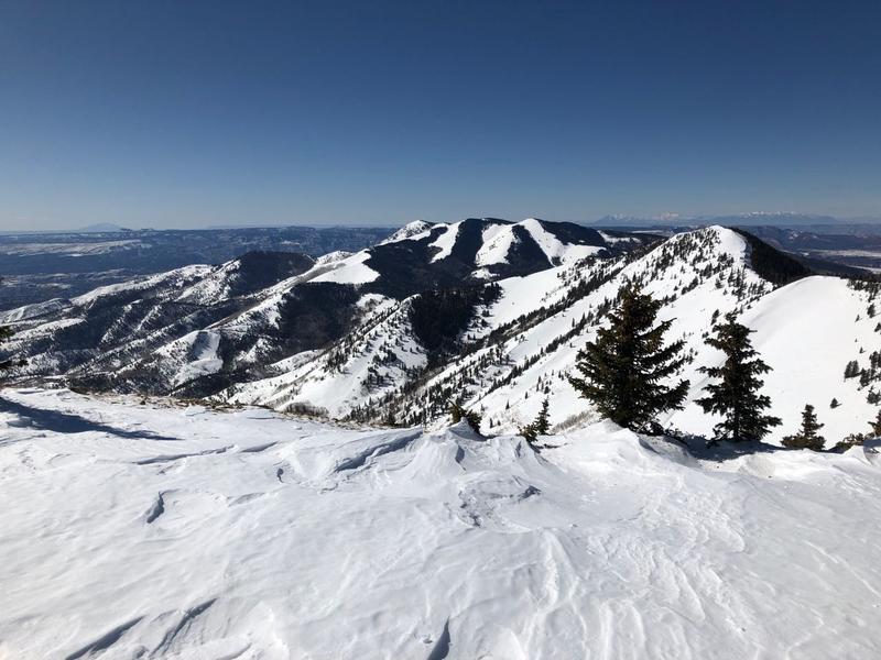
Forecast for the Abajos Area Mountains

Eric Trenbeath
Issued by Eric Trenbeath on
Saturday morning, February 15, 2020
Most terrain has generally LOW danger and mostly stable snow conditions exist. Low danger doesn't mean no danger. It may still be possible to trigger an isolated wind slab in upper elevation terrain on steep slopes facing N-E-SE Drifts are recognizable by their smooth, rounded appearance and they may sound or feel hollow like a drum. Practice safe travel protocol and approach steep slopes with blind convexities or break-overs with caution.
Low
Moderate
Considerable
High
Extreme
Learn how to read the forecast here
Special Announcements
Are you looking to improve your avalanche skills? We are offering a Backcountry 101: Introduction to Avalanches class on February 15-16 in Moab. Click here to register. A huge thanks to Moab Gear Trader for sponsoring this course. Please visit them for all your winter backcountry needs.
New UAC Podcast: The Art of Storytelling Through Film - A Conversation with Trent Meisenheimer check it out HERE.
Weather and Snow
Look for more sunny skies today with light to moderate westerly winds, and high temps in the low 30's. Sunday should be mostly cloudy as a storm system on what has become this season's typical NW flow begins to move through the Wasatch and into north-central Colorado. We'll see a chance for snow Sunday night into Monday.
It's getting hard to find good snow out there but there still is some. In our travels on Friday we found some soft snow in the trees alternating with areas of breakable wind crust. Kevin Dressel was out on Tuesday and sent in this observation.
Snow totals at Buckboard Flat (8924')
Snow totals at Camp Jackson (8858')
The snow surface is pretty worked over. Kevin Dressel photo.
Recent Avalanches
General Announcements
This forecast is from the U.S. Forest Service, which is solely responsible for its content. This forecast describes general avalanche conditions and local variations always occur.