Forecast for the Abajos Area Mountains

Issued by Chris Benson on
Wednesday morning, February 10, 2021
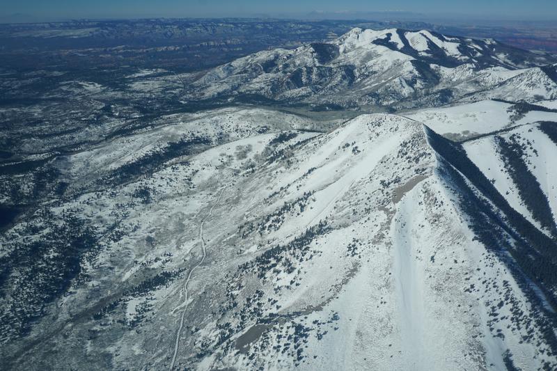
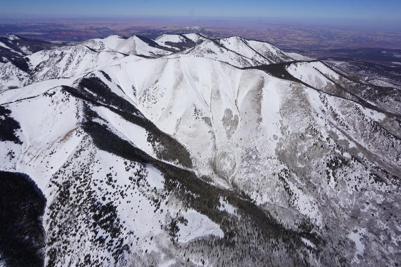
The avalanche danger remains CONSIDERABLE on steep, upper elevation slopes that face NW-N-E, and deep and dangerous human triggered avalanches failing on a buried persistent weak layer remain likely in these areas. Recent deposits of wind drifted snow have added additional stress in these areas. Avalanches can be triggered from a distance and break wider and farther than expected. A MODERATE avalanche danger exists at mid-elevations. Generally, LOW danger can be found on low elevation, south-facing terrain.
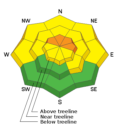
Low
Moderate
Considerable
High
Extreme
Learn how to read the forecast here
Special Announcements
We are filled with grief to report four fatalities from a skier triggered avalanche in the Wasatch Mountains on Saturday. All were well known members of the backcountry community. Here is the preliminary report. Additionally, yet another avalanche fatality has occurred in WA; preliminary report. In a little over a week, there have been 16 avalanche fatalities across the U.S. Conditions are dangerous in most regions and ours is no exception. Please stay conservative in your terrain choices.
Weather and Snow
Over the last 24 hours, about 1" of snow has fallen with light SW winds. Overnight temperatures at the Buckboard Flat SNOTEL show a light freeze. Today, expect lingering snow showers, partly cloudy skies followed by clearing this afternoon with highs near 35 F and light westerly winds. Models suggest a series of systems beginning to impact the area starting Friday. Stay tuned.
Snow totals at Buckboard Flat (8924')
Snow totals at Camp Jackson (8858')
Snowpack Discussion
Conditions are variable. Snow depths range from 2'-4' deep on northerly aspects while coverage on south-facing terrain remains quite thin with some slopes continuing to show bare ground. The sparse coverage makes conditions deceiving, but dangerous human triggered avalanches remain likely in steep, northerly facing slopes. In these areas, the underlying snow, however, is very weak and sugary and is providing an unstable base for slabs that have formed on top. Kevin Dressel was up on Wednesday and reported unstable conditions with reactive stability tests. See his report here.
I did a flyover Abajo mountains on Saturday:
South Peak in the Abajos. Note cross-loaded gully on easterly aspect on the right.
Southerly aspects of Abajo Peak. Note cross-loading of E and SE aspects and almost barren south-facing ridgelines.
Recent Avalanches
A relatively recent avalanche in the La Sals provides a look into the similarly poor snowpack structure of the Abajos.
Additional Information
Information on outdoor recreation - The State of Utah created this webpage with information about recreating on both state and federal public lands during the current health crisis.

New to the backcountry (including riding at closed resorts) - Watch the award-winning, 15 minute Know Before You Go video, or take the 5-part, free online-learning series.
General Announcements
This forecast is from the U.S. Forest Service, which is solely responsible for its content. This forecast describes general avalanche conditions and local variations always occur.