Forecast for the Abajos Area Mountains

Issued by Eric Trenbeath on
Saturday morning, February 1, 2020
Saturday morning, February 1, 2020
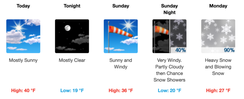
The avalanche danger is LOW and generally stable snow conditions exist. Low danger doesn't mean no danger and it may still be possible to trigger an avalanche on steep, wind loaded slopes or in an area of rocky, more radical, northerly facing terrain that has an underlying weak snowpack. And, with warm temperatures on tap, be alert for loose wet activity on sun-exposed slopes later in the day. Practice safe travel protocol - only put one person on a slope at a time, and always carry appropriate rescue gear - beacon, probe, shovel, and know how to use it.

Low
Moderate
Considerable
High
Extreme
Learn how to read the forecast here


