Forecast for the Abajos Area Mountains

Eric Trenbeath
Issued by Eric Trenbeath on
Sunday morning, December 8, 2019
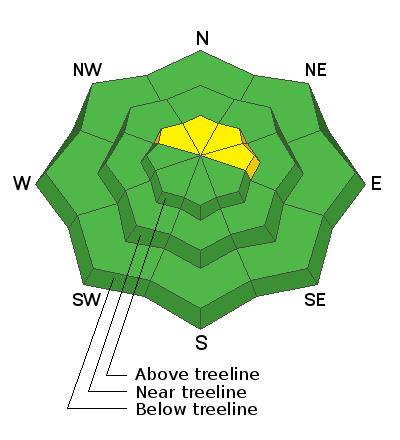
I don't expect the new snow to increase the avalanche hazard and the danger is generally LOW. Low danger doesn't mean no danger, and here are a couple things to keep in mind.
Persistent Weak Layer - There is a layer of moderately weak faceted snow at the base of the snowpack. Though unlikely, it may be possible to trigger an avalanche on this weak layer on steep, northerly facing aspects.
Wind Drifted Snow - There may still be some isolated wind slabs scattered around the high country and increasing winds and snow today may form new ones. Always be on the lookout for areas of wind drifted snow. Look for cracking in the snow surface and avoid slopes that sound and feel hollow like a drum.
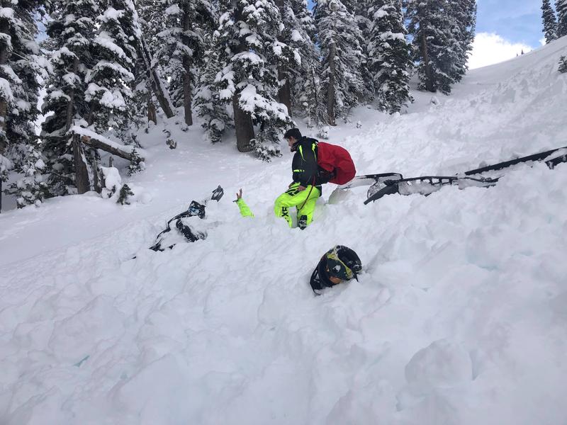
Carry appropriate rescue gear and continue to practice safe travel techniques such as only putting one person on a slope at a time.
Low
Moderate
Considerable
High
Extreme
Learn how to read the forecast here
Special Announcements
The first UAC podcast of the season " Early Season Essentials with Program Director Bo Torrey" check it out HERE.
Get one of these cool t-shirts to support the UAC and other avalanche centers across the U.S.
Weather and Snow
Skies are cloudy, the air is moist, but snow has not yet begun to fall. SW winds are blowing 15-20 mph along ridge tops and it's a warm 29 degrees at 10,000'. Light snow is expected today with 2"-4" possible. SW winds will blow in the 15-25 mph range and high temps will be near 30 degrees. Snow showers should linger into this evening with winds shifting to the NW before the storm exits the region. Monday will be mostly sunny with a dry week ahead.
Snow depths range from 30" at Camp Jackson and Buckboard Flat (9000') to more than 4' of snow at North creek Pass (10,500'). Some sun and wind-exposed slopes have considerably less and there is still some grass poking out, but all said we're off to a good start down here.
Snow totals at Buckboard Flat (8924')
Snow totals at Camp Jackson (8858')
Wind, temperature, and humidity on Abajo Peak (11,000')
Recent Avalanches
There was a close call in the Logan area mountains on Saturday where two riders were caught in an avalanche. Once was partially buried. Both ended up ok. DETAILS HERE.
The partially buried rider's had is sticking up in the photo below.
General Announcements
This forecast is from the U.S. Forest Service, which is solely responsible for its content. This forecast describes general avalanche conditions and local variations always occur.