Expect dangerous conditions in the Abajo Mountains by tomorrow as heavy snowfall and strong winds overload a weak shallow snowpack.
We will not be issuing daily forecasts with danger ratings this season. We will be keeping an eye on the snowpack and will post a detailed summary of conditions on Saturday mornings. Mid-week updates will be provided as weather conditions dictate.
A deep plume of Pacific Moisture is streaming into the region, with the Abajo Mountains forecasted to receive heavy snowfall on New Year's day into Monday. Today we'll see mostly cloudy skies, breezy SW winds, and some light snow. Breezy SW winds and a chance for a couple inches of snow will continue tonight with the main event arriving tomorrow. Stay tuned.
Snowpack Summary and General Conditions
Expect dangerous conditions in the Abajo Mountains by tomorrow as heavy snowfall and strong winds overload a weak shallow snowpack.
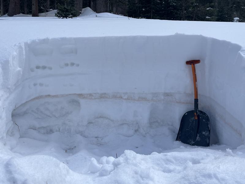
A poor snowpack structure has developed on shady slopes where loose, weak, sugary snow has formed a
persistent weak layer under a
slab of stronger snow. This poor snowpack structure leads to unstable avalanche conditions. Increasing SW winds today will blow and drift snow increasing the avalanche danger.
Wind drifted snow creates unstable slabs and adds more stress to buried weak layers. The avalanche danger will increase the most on steep, northerly facing slopes. Human triggered avalanches will become increasingly more likely in these areas.
Photo illustrates strong snow with a slab over weak snow. Everything below the brown dust layer is weak, sugary, facted snow.
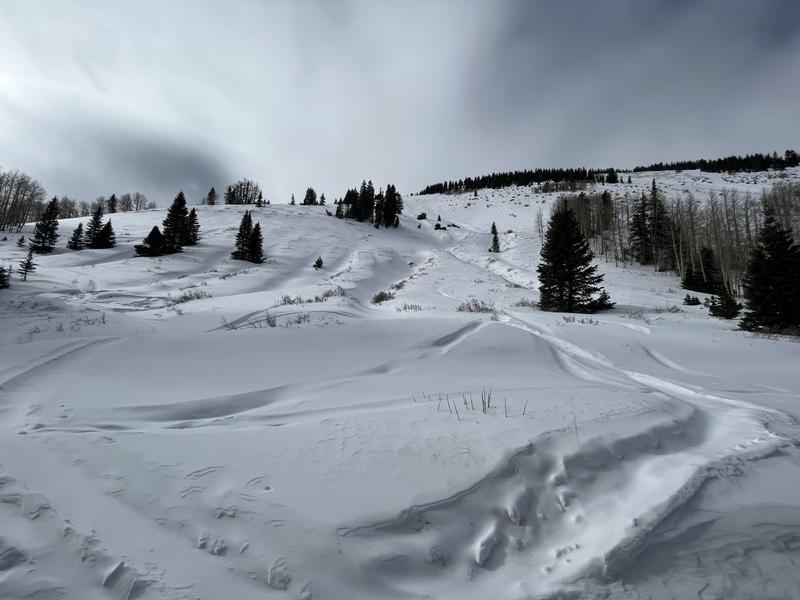
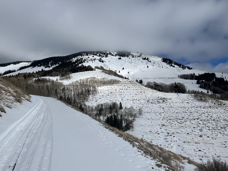
Conditons remain thin with uneven coverage. Note, however, areas with wind drifted snow on the leeward sides of ridge crests and gully walls. Wind drifts are recognizable by their smooth, rounded appearance, and cracking is a sign of instability.
Thin coverage on south and westerly facing slopes.