Forecast for the Abajos Area Mountains

Issued by Eric Trenbeath on
Thursday morning, December 13, 2018
Thursday morning, December 13, 2018
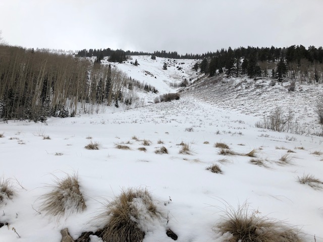
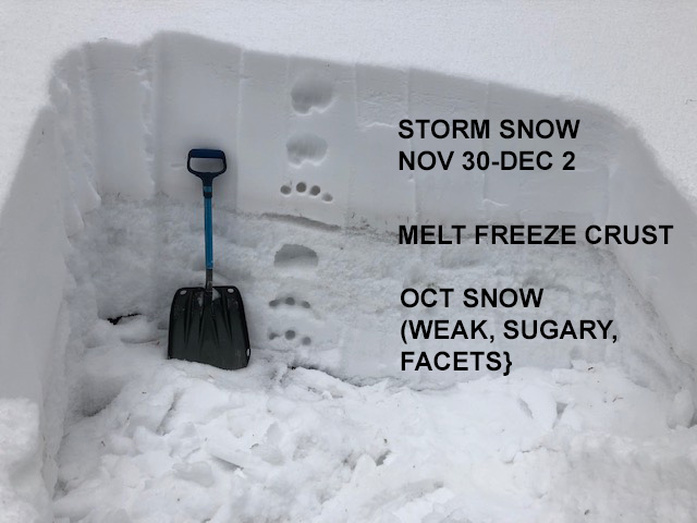
The avalanche danger is MODERATE on steep, upper elevation terrain that face NW-N-E. In these areas, old snow from October has deteriorated into layers of weak, sugary, faceted snow that is providing an unstable base for the last snow load. There may also be some fresh shallow wind drifts from last nights few inches of snow in upper elevation, wind exposed terrain. In most other areas, the avalanche danger is LOW. Low snow conditions are in effect and backcountry travelers need to exercise caution in avoiding buried obstacles such as rocks and deadfall.

Low
Moderate
Considerable
High
Extreme
Learn how to read the forecast here