Join us at our 2nd Annual Blizzard Ball

Forecast for the Abajos Area Mountains

Eric Trenbeath
Issued by Eric Trenbeath on
Monday morning, November 25, 2024
An incoming storm will bring the first snow to the mountains in several weeks. Forecasted snow totals aren't currently very impressive for the Abajos, but the underlying snowpack is very weak on north facing slopes. Expect a rising avalanche danger if we see upwards of a foot of snow.

Conditions are very thin and rocks, trees, and stumps pose serious hazards. Recreating off of snow covered roads is not recommended.
Low
Moderate
Considerable
High
Extreme
Learn how to read the forecast here
Weather and Snow
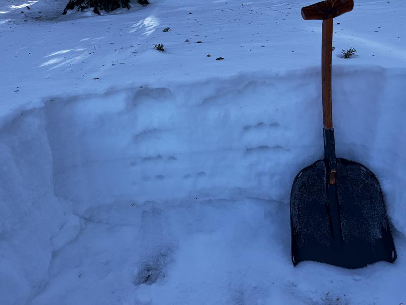
A series of storms in late October and early November brought over 2' of snow to the mountains at upper elevations. Dry conditions over the past several weeks have greatly diminished the snowpack and most south facing slopes are totally bare. Camp Jackson is reporting 3" of total snow while the Buckboard station in lower North Creek has 6". Upper elevation, shady aspects have 12"-16". This snow has become very weak and sugary, and won't support much of a load. It's also safe to say that this weak, faceted snow at the base of the snowpack will become a persistent weak layer problem.
Weak, sugary, faceted snow forms the foundation of our future snowpack.
Use these links for current conditions.
NWS forecast for the Abajo Mountains.
Snow totals and temps at Buckboard Flat (8924')
Snow totals and temps at Camp Jackson (8858')
Additional Information
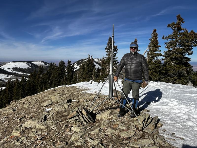
Manti-La Sal National Forest Recreation program manager Brian Murdock helped me install this tripod near Abajo Peak for a new wind station. This brings us one step closer to getting reliable wind data!
General Announcements
This forecast is from the U.S.D.A. Forest Service, which is solely responsible for its content. This forecast describes general avalanche conditions and local variations always occur.