Forecast for the Abajos Area Mountains

Eric Trenbeath
Issued by Eric Trenbeath on
Tuesday morning, November 10, 2020
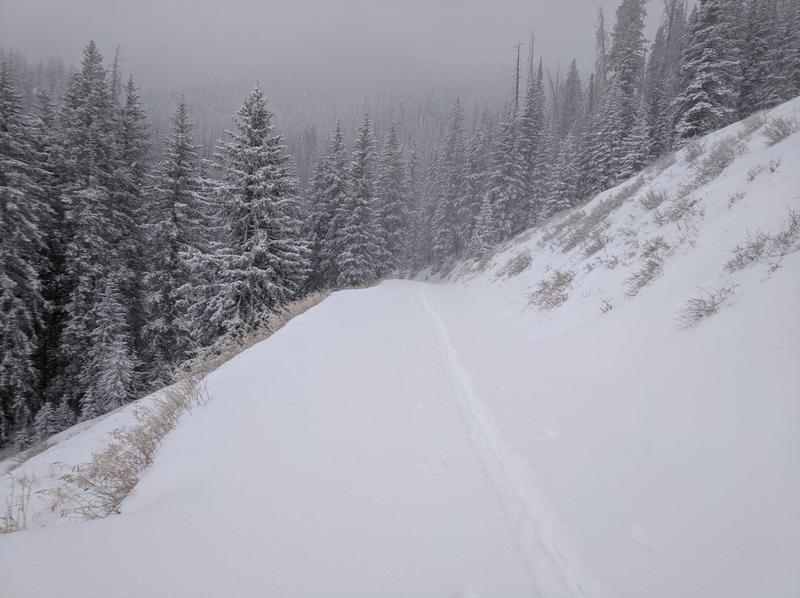
I'm back in the office and in the field for the 2020-2021 winter season. For the time being, I'll be monitoring conditions and posting periodic reports. I'll begin daily detailed avalanche forecasts when there is enough snow to ride which also means there will be enough snow to slide!
Low
Moderate
Considerable
High
Extreme
Learn how to read the forecast here
Weather and Snow
The first significant storm of the season brought 6" - 12" of snow to the mountains. The intrepid Dustin Randall from ROAM Industry made it up to North Creek Pass on Sunday and reported up to 15" of snow. Cold and mostly dry conditions are in store this week with the next chance for snow coming over the weekend. This system looks like it may not drop far enough south for us, but I'll keep you posted.
Snow totals at Buckboard Flat (8924')
Snow totals at Camp Jackson (8858')
Near North Creek Pass on Nov 9. Photo by Dustin Randall.
Additional Information
Information on outdoor recreation - The State of Utah created this webpage with information about recreating on both state and federal public lands during the current health crisis.

New to the backcountry (including riding at closed resorts) - Watch the award-winning, 15 minute Know Before You Go video, or take the 5-part, free online-learning series.
General Announcements
This forecast is from the U.S. Forest Service, which is solely responsible for its content. This forecast describes general avalanche conditions and local variations always occur.