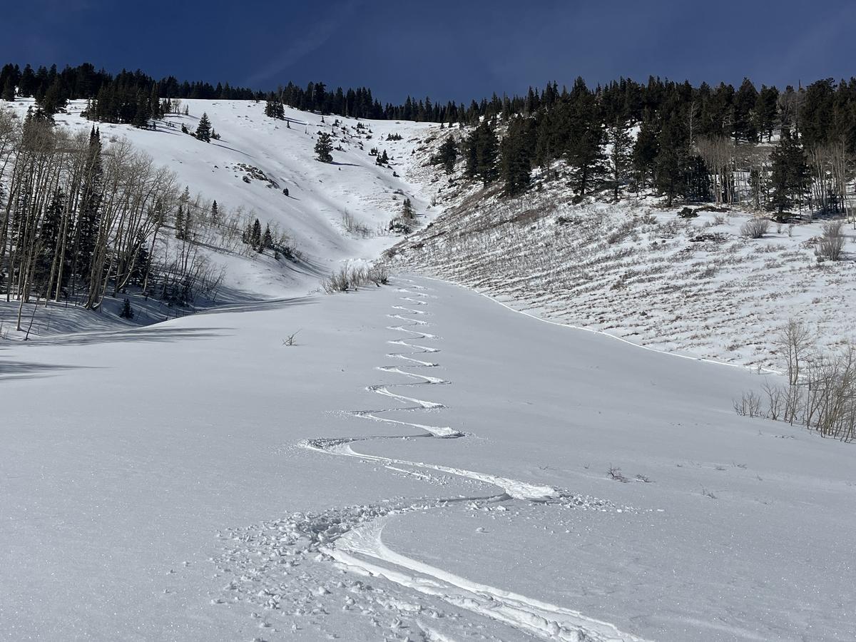
We remain under a ridge of high pressure that is parked over the West. Sunny skies and warmer than average temperatures will continue for the next few days. High temperatures will be near 40F at 10,000'. Overnight lows will be in the lower 20's and winds will be generally light from the NW. A pattern change is shaping up for later in the week but details are not yet certain.
In my travels on Sunday I experienced very warm temperatures and damp snow on sun exposed slopes. Soft powder remains on sheltered aspects. Overall snow cover is only slightly below normal on shady slopes with just over 2' in lower North Creek, and just over 3' at the pass. A very dry December prevented snow from accumulating on southerly aspects and cover remains thin to almost none in these areas. The dry December is also responsible for creating a base of weak, sugary
faceted snow. January snowfall has created a dense slab over this weak foundation. I did not experience any collapsing or whumphing of the slab on this weak base, but stability tests still produce a failure. This means that human triggered avalanches are still possible. For more details,
see my observation.
Overall, the odds of triggering an avalanche have decreased, but areas where you may still find trouble are on steep slopes facing NW-N-E where slabs up to 2' thick exist over this buried weak layer. Looking ahead, we may see a return to an active weather pattern later in the week. Any significant load of new snow will stress the buried weak layer, and we will see a rise in avalanche danger. For now practice safe travel techniques, ride or ski slopes one at a time, and carry rescue gear - beacon, probe, shovel. Continue to exercise caution on steep, northerly facing terrain.
Nearly average snowcover on upper elevation northerly aspects (places where you could still find trouble), and low snow on southerly facing slopes.


