Forecast for the Abajos Area Mountains

Issued by Eric Trenbeath on
Sunday morning, January 12, 2020
Sunday morning, January 12, 2020
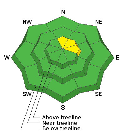
Most terrain offers LOW danger and avalanche conditions are mostly stable. An isolated or MODERATE danger exists on steep, upper elevation slopes that face N-NE-E where it may still be possible to trigger an old, hard wind slab. Suspect areas that have a smooth, rounded look or hollow feel to them. High winds have caused slabs to form down-slope from ridge crests, and special attention should be paid to slopes that have steep convexities or blind break overs. In these same areas, a triggered wind slab may step down into a buried weak layer causing a deeper and more dangerous avalanche.
Low
Moderate
Considerable
High
Extreme
Learn how to read the forecast here


