Observer Name
Michael Janulaitis
Observation Date
Saturday, May 16, 2020
Avalanche Date
Tuesday, May 12, 2020
Region
Uintas » Mt. Watson
Location Name or Route
Mt. Watson
Elevation
11,500'
Aspect
East
Trigger
Natural
Trigger: additional info
Cornice Triggered
Avalanche Type
Cornice Fall
Avalanche Problem
Wet Snow
Weak Layer
Wet grains
Depth
4'
Width
60'
Vertical
900'
Comments
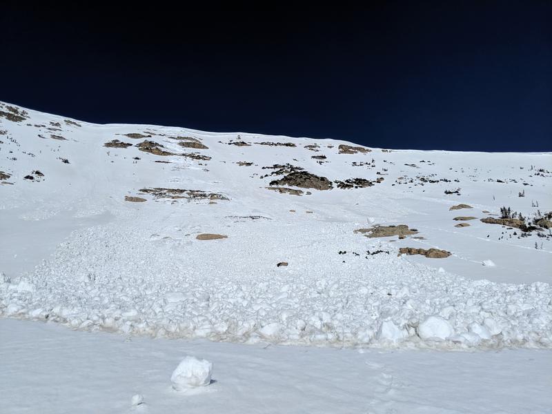
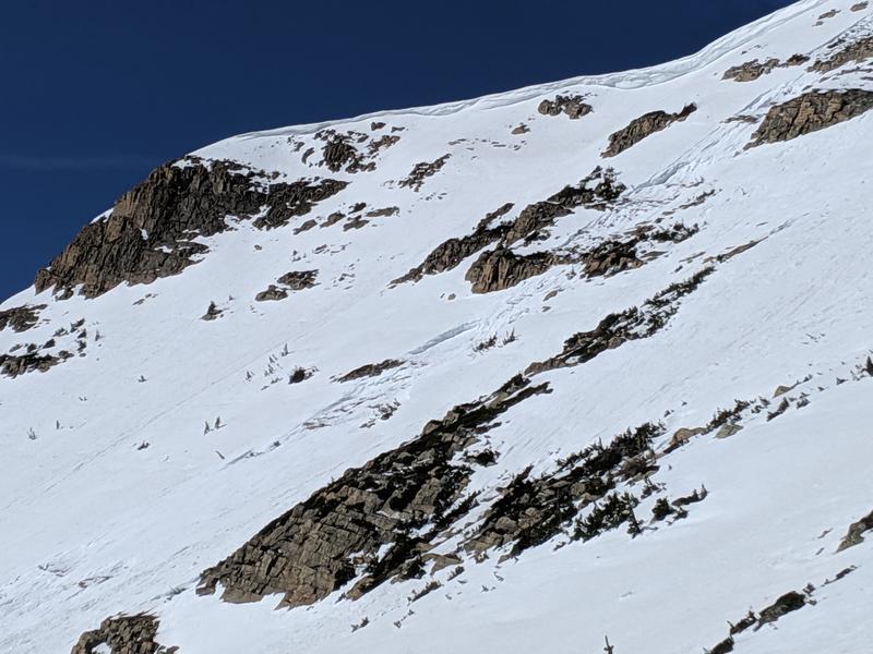
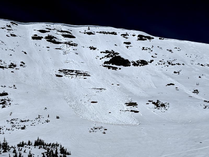
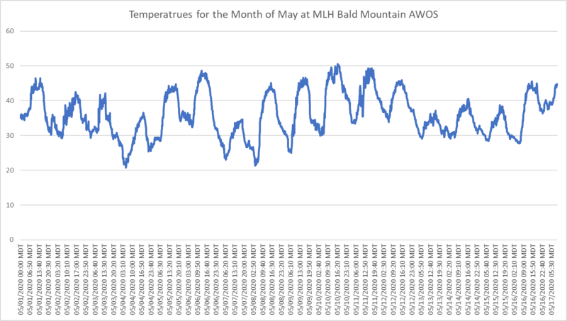
As we often see in a good snow year, the main line of Mt. Watson slide this spring due to overheating. The avalanche initially triggered from a cornice fall however 1/3 the way down it stepped down to near the ground pulling out enough snow to create a large debris pile at the base. I marked this avalanche as occurring on the 12 because the debris was fresh. The warmest temps recorded on the Bald Mountain AWOS prior to Saturday were back between the 8th and the 12th with temps spiking to 50 degrees on the 10th. Finally, the 12th marked the first three days without freezing temps overnight which is yet another trigger.
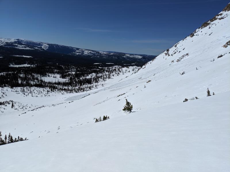
Although I was out early, while booting up the east face of Mt. Watson there were still several places where my feet punched through to wet snow beneath. Steep features that faced SE or any snow near and around rocks had not refroze or only had a light freeze despite freezing temperatures in the mountain values the night before and during the morning hours.
There is plenty of snow out there to get into some real trouble. I often see skiers heading out while I've got my tail tucked and am heading back to the truck. For those that are new to spring skiing, the key to being safe is waking up early and getting to the trail head near FIRST LIGHT and then heading home for some mountain biking BEFORE NOON. Wet slides happen fast, often entrain more snow than expected, often run over exposed rocks and are difficult to escape.
FORECASTER NOTE... Thanks for the great ob and insight!