

Avalanche Advisory
| Advisory: Skyline Area Mountains | Issued by Craig Gordon for March 23, 2013 - 6:46am |
|---|


Above treeline
Near treeline
Below treeline
|
bottom line The avalanche danger is MODERATE today and human triggered avalanches are possible in leeward terrain, especially on steep, wind drifted slopes at mid and upper elevations. Out of the wind zone the avalanche danger is generally LOW.
|

 |
current conditions What a difference a week makes! We've gone from sweltering Caribbean-esque temperatures to full on winter-like conditions in just the past few days. A cold, unsettled pattern brought a few inches of snow to the region on Wednesday night, another 4" late Thursday, and last night's system ushered in an additional 6" of snow that favored the southern half of the range. West and northwest winds have been gusting into the 40's along the Skyline Summit since midweek, but mellowed around 3:00 this morning and are currently blowing 10-15 mph. Temperatures are in the single digits. Riding conditions have gone from zero to hero.
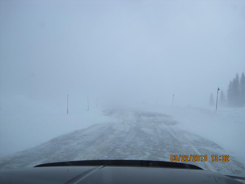
Yesterday's spring-like weather near the Big Drift. |
 |
recent activity Darce and Steve found some shallow drifting along the ridges, otherwise pretty quiet. Check out their trip report here. |
Avalanche Problem 1over the next 24 hours
| type | aspect/elevation | characteristics |
|---|
 |
Above treeline
Near treeline
Below treeline
|
|
|
description
Let's face it... the Skyline is a windy place and this past week the region lived up to its reputation. Now that there's some fresh snow to work with, winds will have had no problem forming drifts sensitive to the additional weight of a rider. While found mostly on steep, upper elevation, leeward slopes, I wouldn't be too surprised if a drift or two formed around terrain features like chutes or gullies. In either case, todays soft slabs are predicable in size and depth, but have formed on some slick crusts and may move a little faster than you might've anticipated. Remember- even though the avalanches might be manageable, in steep, unforgiving terrain even a small slide can take you for a body bruising ride into a group of trees or over a cliff band. |

Avalanche Problem 2over the next 24 hours
| type | aspect/elevation | characteristics |
|---|
 |
Above treeline
Near treeline
Below treeline
|
|
|
description
Winds have helped in forming some pretty impressive cornices along the Skyline and these can easily break well behind you. Probably best to steer clear of these unpredictable pieces of snow. |
 |
weather An usually cold and unsettled pattern will produce mostly cloudy skies with scattered snow showers throughout the day and a couple more inches of snow is expected. West and northwest winds should remain pretty well behaved and in the 15-25 mph range along the high ridges. Temperatures only reach into the low 20's before bottoming out in the single digits overnight. Partly cloudy skies, light winds, and a slow warming trend are on tap for Sunday through the first half of the week. By late in the work week we should see high pressure building with temperatures climbing into the low 40's. |
| general annoucements Remember your information can save lives. If you see anything we should know about, please participate in the creation of our own community avalanche advisory by submitting snow and avalanche conditions. You can call me directly at 801-231-2170, email craig@utahavalanchecenter.org, or email by clicking HERE This is a great time of year to schedule a free avalanche awareness presentation for your group or club. You can contact me at 801-231-2170 or email craig@utahavalanchecenter.org Donate to your favorite non-profit –The Friends of the Utah Avalanche Center. The UAC depends on contributions from users like you to support our work. The information in this advisory is from the US Forest Service which is solely responsible for its content. This advisory describes general avalanche conditions and local variations always occur. The information in this advisory advisory expires 24 hours after the date and time posted, but will be updated by 7:00 AM Saturday, March 30th. |