

Avalanche Advisory
| Advisory: Skyline Area Mountains | Issued by Brett Kobernik for February 16, 2013 - 6:57am |
|---|


 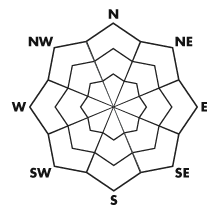
Above treeline
Near treeline
Below treeline
|
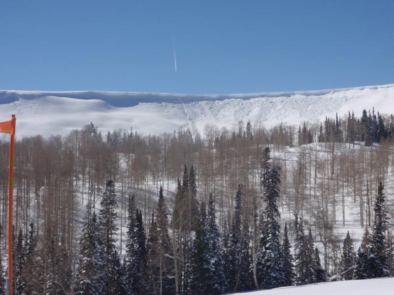
bottom line A MODERATE avalanche danger exists on the steeper easterly facing slopes that have recent deposits of wind drifted snow. The most dangerous areas are where these drifts have formed on top of an area containing old weak preexisting faceted or 'sugar' snow. Watch for areas that have cornices above them indicating that wind has been depositing snow below them.
|

 |
current conditions Temperatures are in the upper teens to low 20s and winds are light and variable in direction. The riding conditions remain excellent in many areas as winds have not damaged the snow surface a whole lot except in the usual high elevation locations. |
 |
recent activity One natural cornice fall was reported from a couple of days ago on an east facing high elevation ridgeline due to some recent wind loading. It didn't produce much of an avalanche when it impacted the slope below it but this is the type of terrain that should be avoided.
|
Avalanche Problem 1over the next 24 hours
| type | aspect/elevation | characteristics |
|---|
 |


Above treeline
Near treeline
Below treeline
|
|
|
description
The problem that I'm the most concerned about is an area that has recent wind blown snow that's formed a drift on top of old weak preexisting snow. There are plenty of areas where you can find weak snow buried deeper in the snowpack. If your track is 'dropping' through the entire pack and is loosing traction, you're most likely punching into weak preexisting snow. Most of these areas are quiet right now avalanche wise, or as we say, they are dormant. Areas that might produce an avalanche would be more easterly facing slopes along and below the ridges that have recent drifts of wind blown snow. |

Avalanche Problem 2over the next 10 hours
| type | aspect/elevation | characteristics |
|---|
 |


Above treeline
Near treeline
Below treeline
|
|
|
description
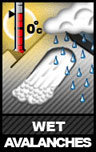
Today will be the warmest day we've seen recently. You should watch southerly facing slopes later this morning and especially this afternoon as they may become wet enough to produce wet avalanche activity. Watch for rollerballs and pinwheeling which indicate things are heating up too much. Lower elevation gullies and other terrain traps should be avoided as the day progresses. Avoid being in any terrain where a natural heat initiated avalanche could come down on top of you. |

 |
weather High pressure will produce very mild weather today with warm temperatures, light westerly winds and mostly clear skies. We should see ridgetop temperatures into the mid 30s. Winds shift more southerly later in the afternoon. A cold front will move through mid day on Sunday bringing clouds and the chance for snow showers with minimal accumulations expected. Another storm moving in mid week could produce better snow accumulations. |
| general annoucements Remember your information can save lives. If you see anything we should know about, please participate in the creation of our own community avalanche advisory by submitting snow and avalanche conditions. You can call me directly at 801-231-2170, email craig@utahavalanchecenter.org, or email by clicking HERE This is a great time of year to schedule a free avalanche awareness presentation for your group or club. You can contact me at 801-231-2170 or email craig@utahavalanchecenter.org Donate to your favorite non-profit –The Friends of the Utah Avalanche Center. The UAC depends on contributions from users like you to support our work. The information in this advisory is from the US Forest Service which is solely responsible for its content. This advisory describes general avalanche conditions and local variations always occur. This advisory will be updated by 7:00 AM Saturday February 23rd. |