Check out our Holiday Auction

Forecast for the Logan Area Mountains

Toby Weed
Issued by Toby Weed on
Wednesday morning, March 10, 2021
The danger is LOW on most slopes in the backcountry, and avalanches are generally unlikely. Even so, areas with heightened avalanche conditions and lingering MODERATE danger probably exist on very steep upper and mid elevation slopes facing northwest through southeast. Although unlikely for people to trigger, large avalanches failing 2 to 3 feet deep on a deeply buried persistent weak layer remain possible.
  • Evaluate snow and terrain carefully.
Low
Moderate
Considerable
High
Extreme
Learn how to read the forecast here
Special Announcements
Allen Foss of Preston, ID was killed in an avalanche Saturday, February 20, near Sherman Peak. Please consider supporting the Foss family during this difficult time.
Weather and Snow
It's a cool 21°F this morning at the 8400' Tony Grove Snotel, and there is about four inches of new snow from yesterday, with 68 inches of total snow and 84% of normal SWE. About 6 inches of fresh snow fell at the Franklin Basin Snotel just north of the state line. Northwest winds are currently blowing 15 mph at the CSI Logan Peak weather station, and temperatures at 9700' have dropped to 11°F. We're expecting a chance of snow showers today, high temperatures at 8500' around 25°F, moderate west winds, and wind chill values as low as -3°F. Cool and unsettled weather will continue into the weekend, with snow showers possible each day, but not much in the way of accumulation likely.
Recent Avalanches
It's been over a week since any human triggered or natural avalanches failing on our nasty widespread buried persistent weak layer have been reported.
A very extensive natural avalanche cycle occurred in mid February and evidence is still apparent across the zone including deep crown lines, large chunks and very long piles of avalanche debris.
Ad
Avalanche Problem #1
Persistent Weak Layer
Type
Location
Likelihood
Size
Description
Although gradually becoming unlikely for people to trigger them, any potential avalanches could still be large and very dangerous. Although suspect weak layers appear to be dormant in many areas, the sugary faceted snow near the ground is still dry, and it will probably continue to be devious. Avalanches remain possible for people to trigger on very steep slopes, in rocky terrain, and on drifted slopes with generally thin snow cover.
  • Avalanches failing on a buried persistent weak layer still might be triggered remotely, or from a distance.
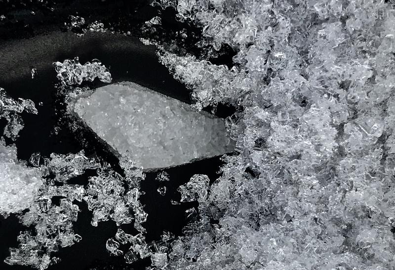
Faceted snow and even depth hoar like this is widespread across the Logan Zone, and it exists on slopes facing every direction and at all elevations. It appears to be dormant on most slopes for now, but there is potential in outlying very steep terrain on slopes that did not naturally avalanche in February.
Additional Information
Do you have the essential avalanche rescue gear (transceiver, probe, and shovel) and do you know how to use them? Watch this video to see how the three pieces of equipment work together. HERE
Please keep practicing with the Beacon Training Park at the Franklin Basin Trailhead. Test yourself and your riding partners. It is free, fun, and easy to use.
General Announcements
Visit this website with information about Responsible Winter Recreation by the Utah Office of Outdoor Recreation.
EMAIL ADVISORY. If you would like to get the daily advisory by email you subscribe HERE.
Remember your information can save lives. If you see anything we should know about, please help us out by submitting snow and avalanche observations....HERE. You can also call us at 801-524-5304, email by clicking HERE, or include #utavy in your Instagram, or @UAClogan on Twitter.
I will update this forecast by around 7:30 Friday morning.
This forecast is from the USDA Forest Service, which is solely responsible for its content. The forecast describes general avalanche conditions and local variations always occur.